
Our Services at Skycore Analytics
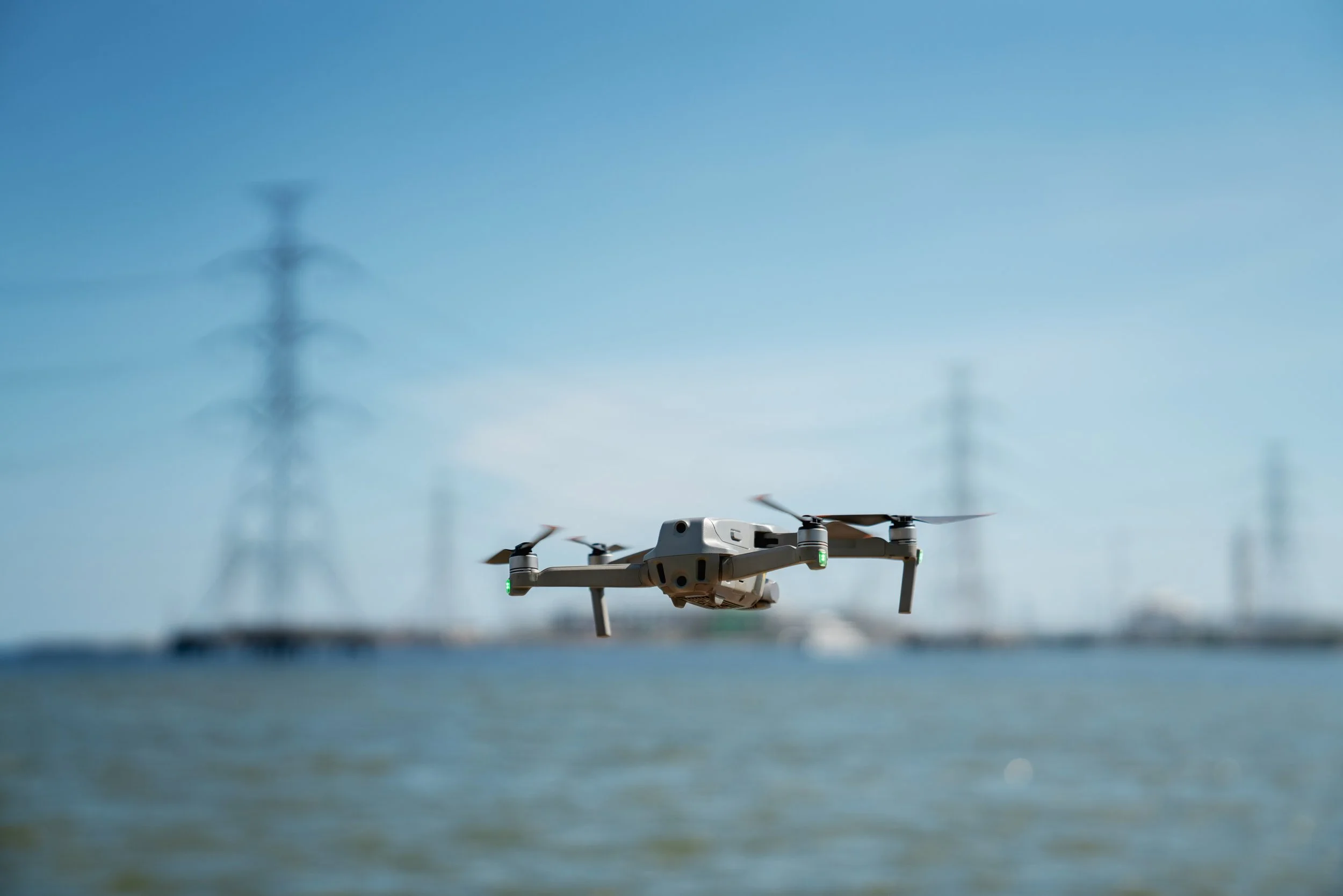
Skycore Analytics delivers unparalleled aerial imaging solutions powered by state-of-the-art drone technology and certified expertise. As licensed drone pilots and certified thermographers, we specialize in commercial roofs, solar field assessments, and industrial infrastructure imaging, providing high-resolution imagery and advanced thermal data to drive smarter asset management. Our innovative approach saves time, reduces costs, and enhances safety for property owners and site managers. Looking for a unique solution? We’re ready to customize our services to meet your specific challenges. Discover how our cutting-edge technology can transform your operations below.
Commercial Roof Imaging
Safeguard your commercial properties with Skycore Analytics’ aerial imaging, designed to deliver precision and peace of mind. Using advanced drones equipped with high-resolution cameras and thermal imaging systems, we capture detailed visuals to identify potential leaks, cracks, insulation failures, and other roofing issues. Our technology enables rapid, non-invasive inspections of flat roofs, sloped surfaces, or expansive complexes, eliminating the need for costly scaffolding or risky manual assessments. We provide comprehensive reports with actionable insights, supporting maintenance planning, insurance claims, and compliance with building codes. With Skycore’s cutting-edge tools, you’ll gain important insights to help give you a complete understanding of your roof’s condition, ensuring long-term durability and cost savings.
Solar Field Imaging
Optimize your solar energy investments with Skycore Analytics’ solar field aerial imaging for solar fields and arrays. Our advanced drones, fitted with high-definition cameras and precision thermal sensors, map entire installations to detect panel defects, hot spots, wiring issues, or vegetation encroachment that could compromise efficiency. This technology allows us to analyze large-scale arrays quickly, delivering detailed reports that pinpoint underperforming panels and recommend targeted maintenance. Whether you manage a small rooftop system or a utility-scale solar farm, our data-driven insights help maximize energy output, extend equipment lifespan, and boost return on investment. With Skycore’s innovative solutions, your solar operations will operate at peak performance.
Industrial Infrastructure Imaging
Ensure the integrity of your critical infrastructure with Skycore Analytics’ state-of-the-art drone imaging, tailored for hard-to-reach assets like bridges, pipelines, communication towers, and industrial facilities. Our cutting-edge drones, equipped with ultra-high-resolution cameras and thermal imaging, capture precise data to identify corrosion, structural cracks, weld imperfections, or other vulnerabilities. This technology enables safe, efficient assessments without the need for heavy equipment, hazardous climbs, or operational shutdowns. We deliver detailed reports that support regulatory compliance, predictive maintenance, and risk mitigation, helping you avoid costly repairs and downtime. Skycore’s advanced aerial solutions keep your infrastructure secure, reliable, and future-ready.
Custom Aerial Solutions
Skycore Analytics goes beyond our core services, leveraging state-of-the-art drone technology to address your unique project needs. Whether you require land imaging, environmental monitoring, construction site progress tracking, agricultural assessments, or other specialized surveys, we’re equipped to deliver tailored solutions. Our advanced drones and thermal imaging systems adapt to diverse applications, providing high-quality data to meet your goals. We work closely with clients to understand their challenges and design custom aerial strategies that deliver results. No project is too complex—contact us to explore how Skycore’s innovative technology can bring your vision to reality.
Ready to Elevate Your Asset Management?
Partner with Skycore Analytics for aerial surveys that combine state-of-the-art technology with unmatched expertise. Contact us today (#) to schedule a consultation or discuss how our services, including custom solutions, can meet your needs.
Contact us
Interested in working together? Fill out some info and we will be in touch shortly. We can’t wait to hear from you!